01What this is
An atlas of resource extraction
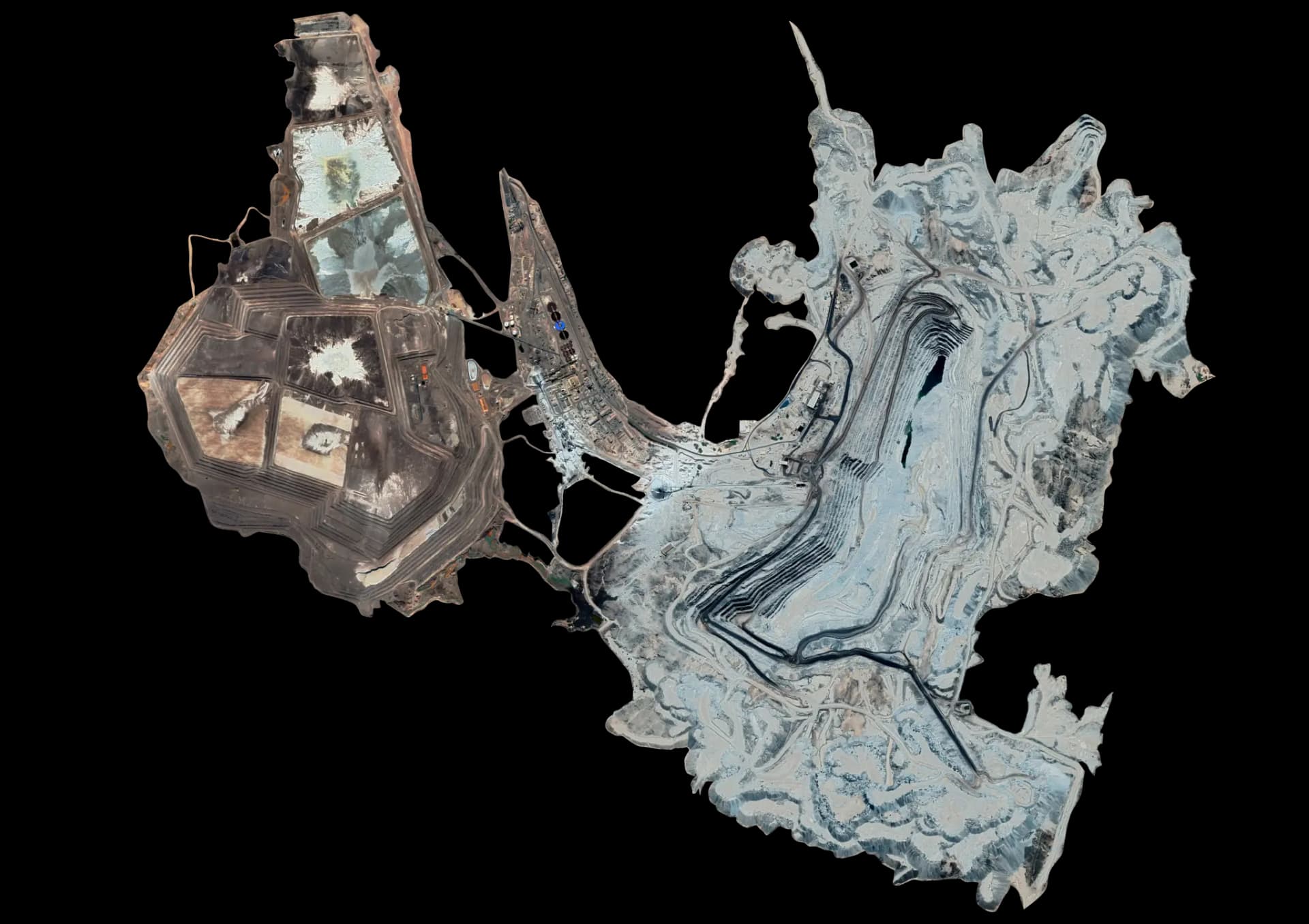
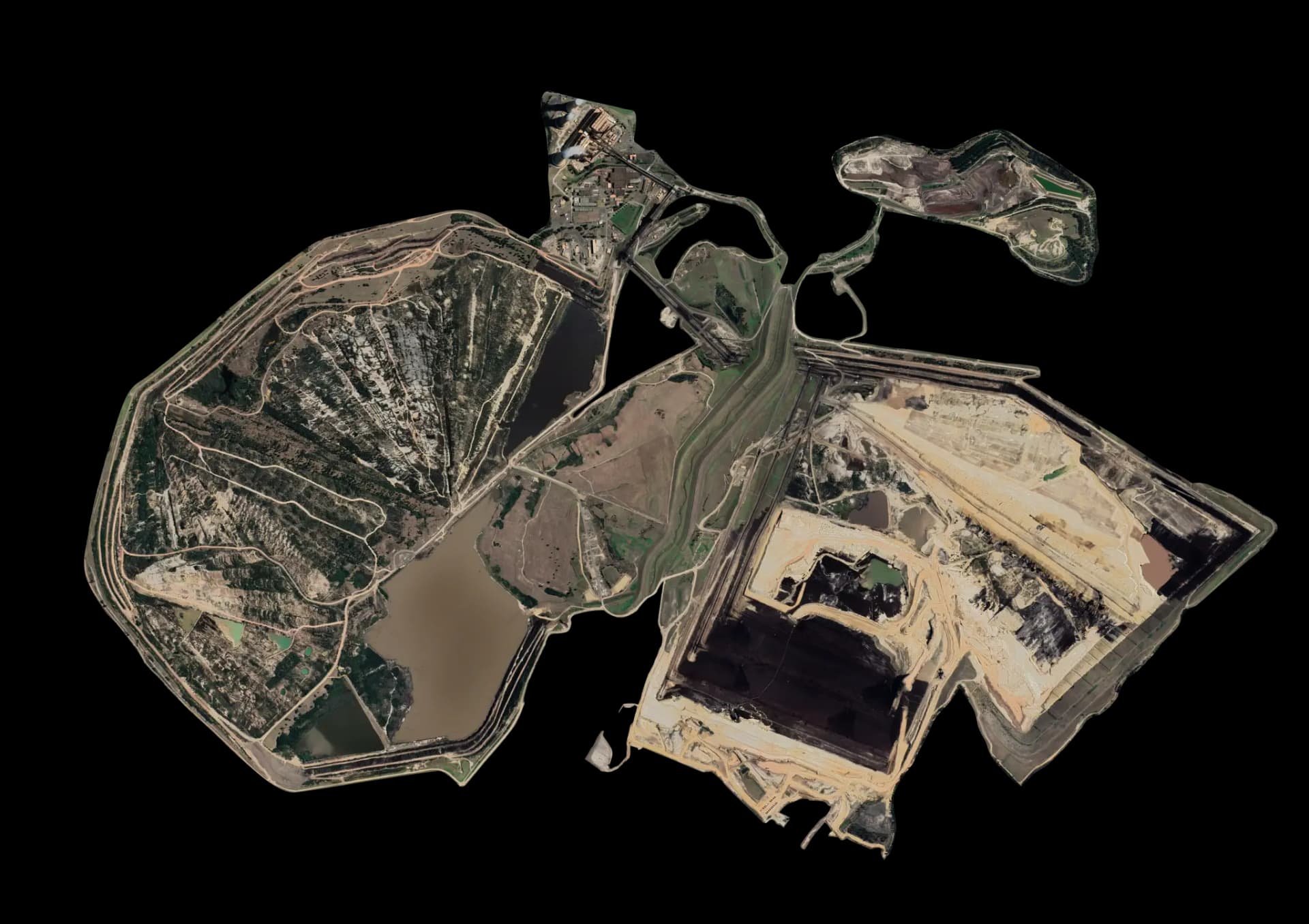
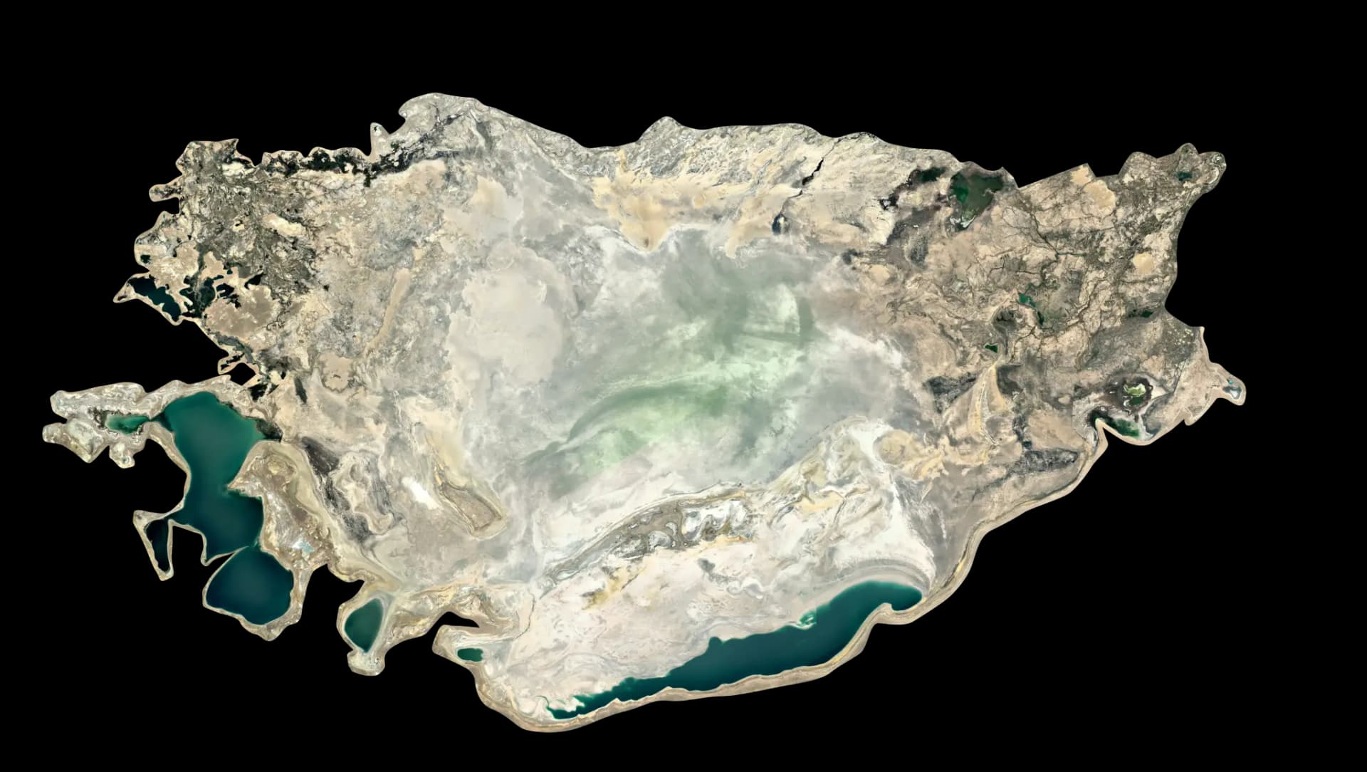
Google Warming is an index of the places where the modern world is dug up, burned, built, and discarded — mines, power plants, refineries, industrial complexes, settlements, and waste grounds, collected from orbit so the patterns between them become legible at landscape scale.
The methodology is a step-by-step process of capturing and processing satellite imagery to reveal these sites, then mapping how material moves between them: from raw extraction, through energy and industry, into settlement and waste.
02Where to start
Three ways into the data
03The team
Research by Leon Gurevitch & Ethan Sheaf-Morrison
Studying how orbital imagery reshapes our view of resource extraction and ecological disruption.